
Digital Outcrop Geology: Bridging the Gap between Fieldwork and Subsurface Modelling
By combining high-resolution imaging technologies with advanced modelling techniques, digital outcrop geology is revolutionising the way we bridge the gap between fieldwork and subsurface modelling.
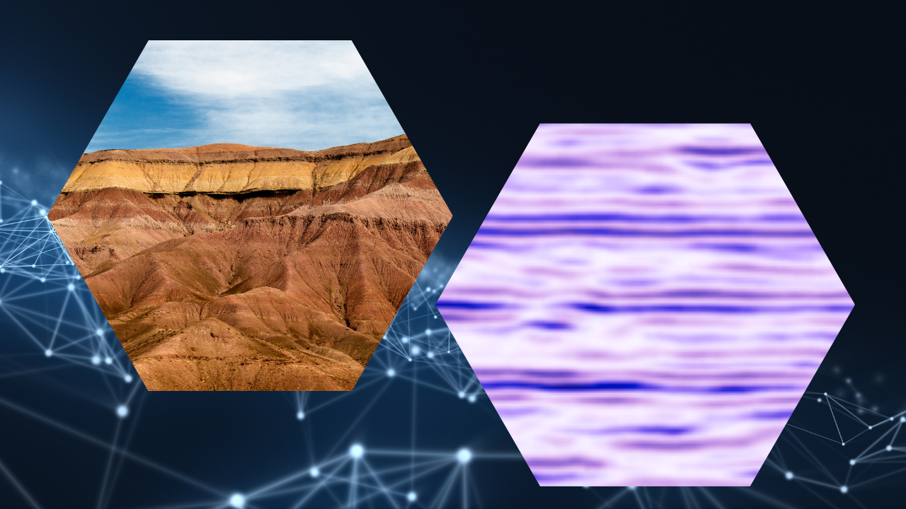
Geologists have long relied on fieldwork to study the Earth's subsurface and understand its geological features. However, the limitations of traditional fieldwork, such as accessibility, cost, and the inability to observe and see underground, have led to the development of innovative techniques. One such technique that has gained significant prominence is digital outcrop geology.
Digital outcrop geology involves the high-resolution imaging and three-dimensional (3D) modelling of exposed rock faces or outcrops. It aims to capture the geological information present in natural outcrops and integrate it with subsurface data for a comprehensive understanding of the subsurface geology. By using various imaging techniques, such as terrestrial laser scanning (TLS), photogrammetry, and drones, geologists can create detailed digital representations of outcrop surfaces.
Bridging the Gap
High-Resolution Imaging:
Digital outcrop geology enables geologists to capture high-resolution data of rock exposures, providing detailed information about the lithology, sedimentary structures, fractures, and other geological features. In some cases, these imaging techniques offer a level of information and accuracy that surpasses traditional fieldwork, allowing geologists to study outcrops remotely. These models allow geologists to make more measurements, resulting in larger and statistically more robust datasets.
Integration with Subsurface Data:
The digital representation of outcrops serves as a bridge between the observed surface geology and the subsurface. By integrating digital outcrop data with subsurface models derived from well logs, seismic data, and other geophysical measurements, geologists can create more accurate and robust subsurface models. The outcrop data enhances our understanding of the spatial distribution and connectivity of geological features. We can use the outcrop data to provide geostatistical data, such as geometry and spatial trends, to act as input to stochastic models of the subsurface. The outcrop data can even be used to train geologists, working on subsurface problems, in different depositional environments and geological regimes further expanding their expertise and knowledge.
Applications of Digital Outcrop Geology
Geological Modelling and Interpretation:
In the field of petroleum geology, digital outcrop geology has proven invaluable for reservoir characterisation. By studying geological outcrops and integrating this information with subsurface data, geologists can gain insights into reservoir properties such as porosity, permeability, and connectivity. This knowledge then aids in better reservoir management, hydrocarbon recovery, and well planning. It's not just applicable in the petroleum sector, it has equal applicability in CO2 storage, modelling of aquifers and groundwater, geothermal energy, and nuclear waste storage. All these require an understanding of subsurface heterogeneity and how it influences the flow of fluids and gasses over time. There are further applications in mining and mineral extraction, helping geoscientists and engineers extract resources safely and efficiently while minimising environmental impact. This will be of major importance during the energy transition as our demands on natural resources increase.
Education and Training:
Digital outcrop geology also plays a significant role in education and training. It provides geology students and professionals with virtual access to diverse geological environments and outcrop sites worldwide. By studying and analysing digital outcrop data, individuals can enhance their geological skills and gain practical experience in interpreting subsurface geology. This also makes geology a more inclusive subject, expanding the valuable training that field geology undoubtedly brings to a much wider and diverse audience.
Challenges and Future Directions
While digital outcrop geology offers tremendous opportunities, it also presents challenges. The acquisition of high-quality data can be time-consuming and expensive. Furthermore, the processing and integration of large datasets still require significant computational resources and some expertise. Though the main problem is probably the mindset of the traditional field geologists. Addressing these challenges will be crucial for the widespread adoption and advancement of digital outcrop geology.
Looking ahead, the field of digital outcrop geology holds great promise. Advancements in imaging technologies, such as increased automation, improved resolution, and augmented reality/virtual reality (AR/VR) applications, will further enhance our ability to study and analyse outcrop data. Additionally, the integration of digital outcrop data with emerging technologies like machine learning and artificial intelligence will revolutionise the interpretation and modelling of subsurface geology.
Digital outcrop geology has emerged as a powerful tool for bridging the gap between fieldwork and subsurface modelling. By capturing high-resolution data and integrating it with subsurface information, geologists can gain a deeper understanding of the Earth's subsurface. The applications of digital outcrop geology in reservoir characterisation, geological modelling, and education are transforming the way we study and interpret the Earth's geology. As the field continues to evolve and overcome challenges, it will undoubtedly contribute to significant advancements in various disciplines and reshape our understanding of the subsurface environment.
Interested in finding out more? Then there are some publications listed here which use digital outcrop data to bridge the subsurface-to-surface gap with the assistance of VRGS.
Further reading:
Aydin Shahtakhtinskiy and Shuhab Khan (2022) 3D stratigraphic mapping and reservoir architecture of the Balakhany Suite, Upper Productive Series, using UAV photogrammetry: Yasamal Valley, Azerbaijan. Marine and Petroleum GeologyVolume 145
Thiele, Samuel T. and Bnoulkacem, Zakaria and Lorenz, Sandra and Bordenave, Aurélien and Menegoni, Niccolò and Madriz, Yuleika and Dujoncquoy, Emmanuel and Gloaguen, Richard and Kenter, Jeroen (2022) Mineralogical mapping with accurately corrected shortwave infrared hyperspectral data acquired obliquely from UAVs. Remote Sensing. Volume 14
Luis Miguel Yeste and Ricardo Palomino and Augusto Nicolás Varela and Neil David McDougall and César Viseras (2021) Integrating outcrop and subsurface data to improve the predictability of geobodies distribution using a 3D training image: A case study of a Triassic Channel – Crevasse-splay complex Marine and Petroleum Geology. Volume 129
Thomas, Hadrien and Brigaud, Benjamin and Blaise, Thomas and Saint-Bezar, Bertrand and Zordan, Elodie and Zeyen, Hermann and Andrieu, Simon and Vincent, Benoît and Chirol, Hugo and Portier, Eric and Mouche, Emmanuel (2021) Contribution of drone photogrammetry to 3D outcrop modeling of facies, porosity, and permeability heterogeneities in carbonate reservoirs (Paris Basin, Middle Jurassic). Marine and Petroleum Geology. Volume 123
Priddy, Charlotte L. and Pringle, Jamie K. and Clarke, Stuart M. and Pettigrew, Ross P. (2019) Application of photogrammetry to generate quantitative geobody data in ephemeral fluvial systems. Photogrammetric Record. Volume 34
Hodgetts, D. and Burnham, B.S. (2016) Improving reservoir models through combining digital outcrop data and forward modelling. 78th EAGE Conference and Exhibition 2016: Efficient Use of Technology - Unlocking Potential
Rarity, F. and Van Lanen, X.M.T. and Hodgetts, D. and Gawthorpe, R.L. and Wilson, P. and Fabuel-Perez, I. and Redfern, J. (2013). LiDAR-based digital outcrops for sedimentological analysis: Workflows and techniques. Geological Society Special Publication, Volume 387
More publications can be found listed on the publications page.