
You don't always need a drone!
While drones can be useful, ground-based photography techniques can also work for areas with high foot traffic or sensitive environments. Stay safe and respect privacy with alternative techniques.
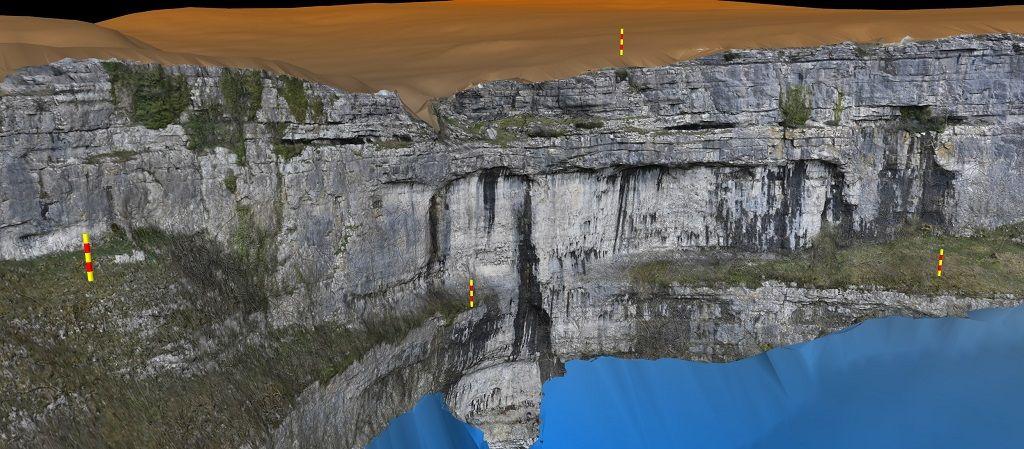
Malham, situated in the Yorkshire Dales National Park in the north of England, is famous for its stunning landscape and geology. This includes Malham Cove, a towering limestone cliff that attracts many visitors each year. A recent trip there provided an opportunity to collect some digital outcrop data. The area is popular with hikers, climbers, and nature enthusiasts, and is always busy. This meant using a drone was not possible (and actually not allowed in that area). While drones can be a useful tool for capturing high-resolution aerial images of geological features, they are not always necessary or practical as in this case.
Ground-based photography techniques, such as using a digital camera mounted on a tripod or taking photos with a smartphone, can also be used to create 3D models of geological features. Images for this Malham Cove model were collected with a hand-held Nikon Z7ii, using a 27-70 zoom lens, with the focal length kept constant at maximum zoom.
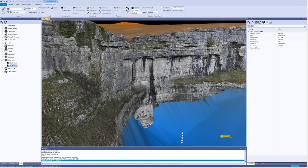
When conducting geologic surveys in areas with high foot traffic or sensitive environmental conditions, using a drone for photogrammetry can present safety and privacy concerns. Flying a drone in crowded areas can be risky, and may disturb wildlife or damage delicate ecosystems. Additionally, some people may feel uncomfortable or unsafe with a drone flying overhead.
In these situations, ground-based photography can be a safer and more practical alternative. By using a camera mounted on a tripod or handheld, geologists can capture accurate and detailed images of geological features without putting themselves, others, or the environment at risk. Ground-based photography can also provide more control over the camera angle and distance, allowing for more detailed and accurate images to be captured.
Furthermore, ground-based photogrammetry can be a more cost-effective alternative to using a drone. Drones can be expensive to purchase, maintain, and operate, which may not be feasible for smaller research projects or educational institutions with limited budgets. Ground-based photography can be done using readily available equipment, such as a smartphone or digital camera, making it more accessible and affordable for a wider range of geologists and students.
While drones can be a useful tool for geologists conducting photogrammetry, they are not always necessary or practical. Ground-based photography techniques can also be used to create accurate and detailed 3D models of geological features, particularly in areas with high foot traffic or sensitive environmental conditions where the use of drones may pose safety or privacy concerns.