Welcome to Dr Brian Burnham
Part of my role as a Senior Geoscientist is to continue scientific research and discovery, but with an overall aim of creating and promoting tools and analytical methods that empower geoscientists to make better and more informed decisions from digital outcrop data.

By Brian Burnham
Published On 2024-04-03
Last Edited : 2024-04-03
Welcome to Dr Brian Burnham

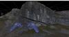
Digital records of all geology is important, especially geo-tourist spots like the famous Clashach Cove
Hello! My name is Brian and I’ve recently joined VRGeoscience as a Senior Geoscientist. For those that don’t know me, I thought I’d take this opportunity to write a little bit about myself. I’m a geoscientist curious about the crossover between Earth Science and technology, and a keen and passionate advocate for scientific research and resource sharing to make geoscience more accessible, inclusive, and reproducible. So, I am thrilled to join a company at the forefront of digital outcrop geology!


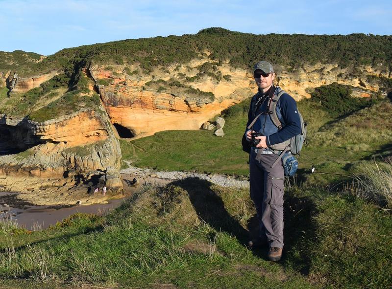
Obligatory selfie from a data collection campaign at a Pennsylvanian (upper Carboniferous) fluvial succession to accompany digital outcrop data.
I have over 15 years’ experience collecting and analysing digital outcrop data that accompanies a varied research background. However, a core theme exists in my background - 3D digital outcrop analysis and visualisation. During my undergraduate and master’s research projects, I worked with geoscientists, engineers, and digital artists to develop methods to analyse and visualise 3D digital outcrop models and data in bespoke software and even video game environments. My PhD and postdoc continued this theme, but my research focused on finding unique, quantitative solutions to challenging scientific and geologic questions using digital outcrop models and data. My research took me across the world, from South America to Spain, and back again, with a focus on elucidating geometric controls and palaeo-environmental reconstruction of sedimentary systems, from regional- to basin-scale. I’ve used many techniques throughout my academic career to collect digital outcrop data, from laser scanners to UAVs (drones). All methods have their advantages and place in digital geoscience, and I’m really excited to further explore what geoscientists can do with 3D digital outcrop data.


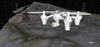
Collecting digital outcrop data in the field with different technologies, such as lidar (left) and UAVs (right).
Part of my role as a Senior Geoscientist is to continue scientific research and discovery, but with an overall aim of creating and promoting tools and analytical methods that empower geoscientists to make better and more informed decisions from digital outcrop data. After a short, but rewarding, venture in the environmental industry as a remote sensing scientist, I’m ready and keen to work again with 3D digital outcrop and data enthusiasts. The team at VRGeoscience are passionate and dedicated scientists, innovators, and educators, and I am delighted to be onboard. I cannot wait to help my fellow geoscientists use digital outcrop data in their work and research.


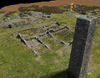
Traditional field geology and digital geology are inextricably linked, whether assessing facies transitions in Argentina, or characterising aeolian dune geometry in north Scotland.
Keep an eye out for more 3D digital outcrop news, data tips and tricks, and the next innovation from VRGeoscience!
Latest Articles